


Locate and map buried utilities in a single operation.
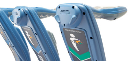
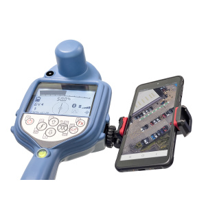
The RD8200SG is Radiodetection’s most advanced, combined mapping and utility locating solution that enables users to map buried utilities with survey grade accuracy.
SKU:10/RD8200SG-FCC
Locate and map buried utilities in a single operation.
The RD8200SG is Radiodetection’s most advanced, combined mapping and utility locating solution that enables users to map buried utilities with survey grade accuracy.
Couldn't load pickup availability


Map while you locate
Flexibility to work with the system that works for your business
|
 |
Already a mapping expert?Integrate utility locating into your mapping procedures.
Already a Locating Expert?
|
 |
